Drumcondra (Irish: Droim Conrach, meaning "Conra's Ridge") is a residential area and inner suburb on the Northside of Dublin, Ireland. It is administered by Dublin City Council. The River Tolka and the Royal Canal flow through the area. The Local Government (Dublin) Act, 1930, First Schedule, Part I lists the townlands of Drumcondra Rural as : Clonturk, Furrypark, Hampstead Hill, Hampstead South, Killester North, North Bull, Puckstown, and Sibylhill. Part II lists the Portions of Townlands as : Killester Demesne, Harmonstown, and Artaine South.
Extreme weather in China
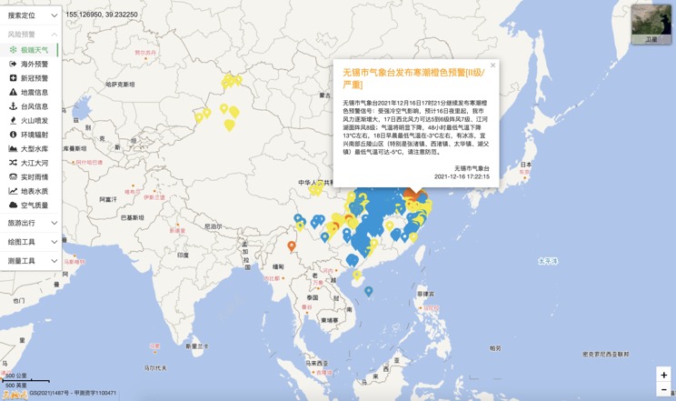
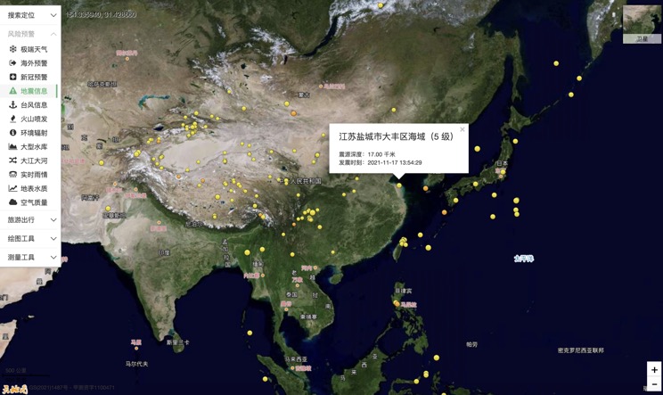
China Earthquake Information
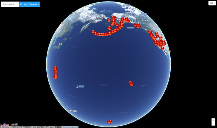
Volcano eruption
Environmental Radiation in China
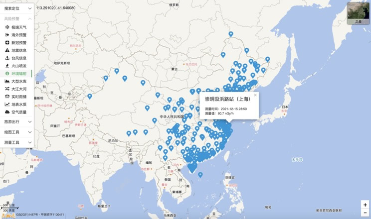
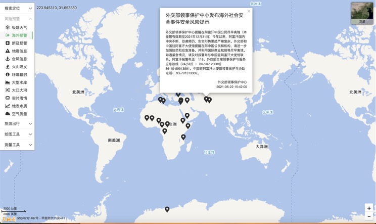
Overseas Warning
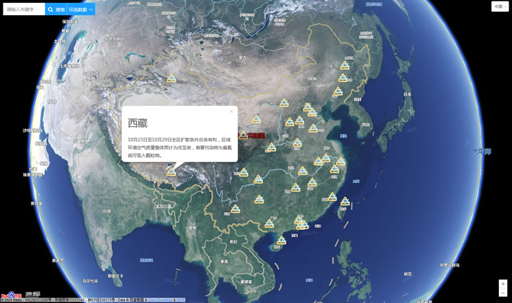
China's air quality
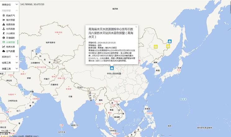
China's Water Disaster Alert
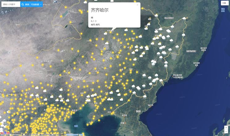
China Weather Forecast
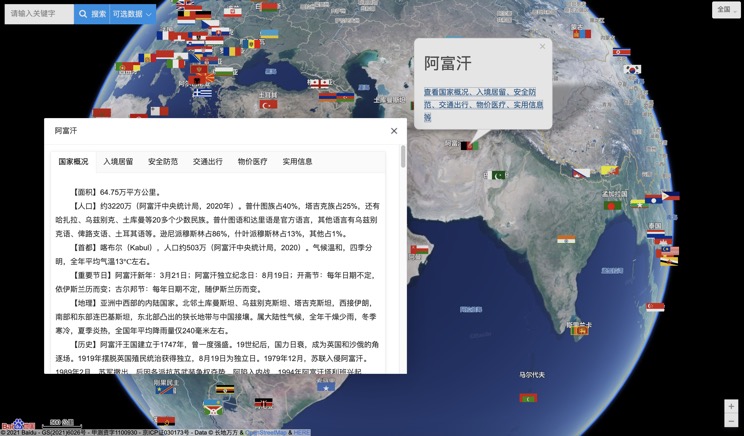
Introduction to Countries
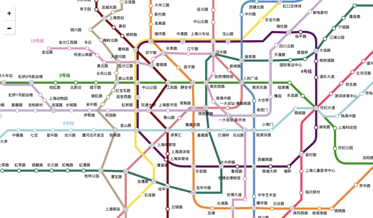
China Subway Lines
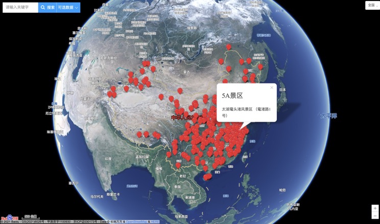
China's 5A Scenic Spots
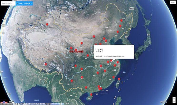
Provincial Capitals in China
